Public land · Kentucky
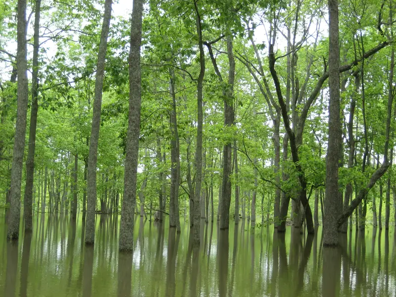
Flooded bottomland hardwood forest. Photo: USFWSLake Barkley Wildlife Management Area
Wildlife management area · KDFWR on U.S. Army Corps of Engineers land
- State
- Kentucky
- Type
- Wildlife management area
- Managed by
- KDFWR on U.S. Army Corps of Engineers land
- Size
- 907 acres
- Official page
- Agency page
Islands and shoreline on Lake Barkley with season-long blind sites by drawing and two waterfowl refuges.
Waterfowl rules
- Season-long blind sites go by drawing; this year's drawing was Sept 21 (closed). Permanent blinds must stay within 10 yards of the assigned marker in two described zones; other blinds must be temporary.Source: KDFWR Migratory Bird and Waterfowl Hunting Guide 2026–27 (PDF) · Last checked Oct 22, 2026
- Refuges closed to all hunting, fishing and boating: west of the main channel between river miles 51 and 55.5, Nov 1–Feb 15; and west of a line from Fulton Bay to Honker Bay, Nov 1–Mar 15.Source: KDFWR Migratory Bird and Waterfowl Hunting Guide 2026–27 (PDF) · Last checked Oct 22, 2026
- Boating is allowed but hunting is banned on and within 200 yards of Duck Island, Oct 15–Mar 15. Nontoxic shot is required on Duck Island for all migratory birds.Source: KDFWR Migratory Bird and Waterfowl Hunting Guide 2026–27 (PDF) · Last checked Oct 22, 2026
- Drawn blind holders who aren't in their blind one hour before sunrise lose it for the day to other hunters, first come, first served.Source: KDFWR Migratory Bird and Waterfowl Hunting Guide 2026–27 (PDF) · Last checked Oct 22, 2026
Access and ramps
- Location: Trigg, Lyon and Livingston counties. Entrance GPS coordinates listed by KDFWR: 36.6874, -87.909. Area phone: (270) 753-6913.Source: KDFWR public lands: Lake Barkley WMA · Last checked Oct 22, 2026
Not confirmed yet
- KDFWR's area page and the guide word the north refuge closure differently (Nov 1–Feb 15 vs Nov 1–Mar 15). We list the guide's two refuge descriptions; check the signs.
See something wrong or out of date? Report a correction.
Before you go
Check the rules and the water
Confirm this season’s rules on our state law pages or the agency’s own site, check draw and permit deadlines, and look at today’s river levels on the migration map. Areas can close or flood on short notice.