How it hunts
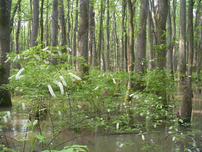
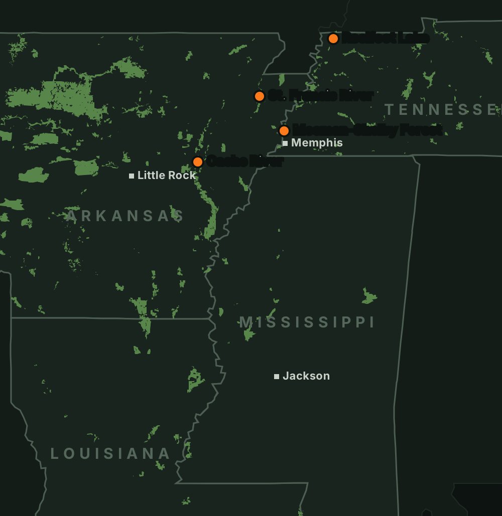
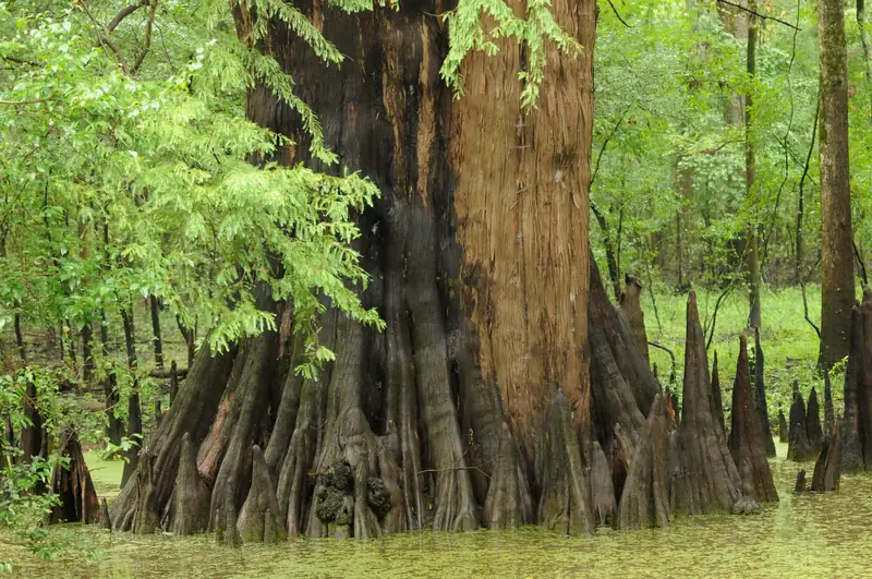
The St. Francis Sunken Lands are 30 miles of flooded cypress, sloughs and river along the St. Francis floodway in northeast Arkansas. It is some of the most popular, and most crowded, public duck water in the region, and this season adds a new draw-only permit unit.
Expect pressure and keep your cool
Boats race out well before daylight and the best spots fill early. Have a backup plan and give other groups room.
Respect the control structure
The water just above and below the St. Francis Lake control structure is dangerous at low water and in floods. Night runs through stumps and flooded cypress are risky; go slow.
Check the gauge
Water levels here can't be fully controlled, so rain makes the season. Check the Oak Donnick gauge and the Corps of Engineers' river data before you go.
Look past the Wide Water
Pressure piles up on the lower St. Francis Lake stretch. The scattered tracts upstream, reached by boat or on foot, can be quieter. The area is broken up by private land, so plan your route on the official map.
Carry a compass and a survival kit
Getting turned around in the Sunken Lands is common, especially in fog.
Getting there and ramps
St. Francis Sunken Lands WMAOpen to duck hunting
- Siphons Access (off Hwy 63 near Marked Tree), Oak Donnick Access (south of Trumann off Hwy 63 near Tulot), Stephens Landing (off Hwy 69 east of Trumann), Mangrum Landing, Iron Bridge Access and the Lake City Hwy 18 bridge access.Source: AGFC St. Francis Sunken Lands WMA · Last checked Oct 22, 2026
- Interior roads are closed to vehicles except marked mobility-impaired trails. AGFC says the best way into the interior is by boat.Source: AGFC St. Francis Sunken Lands WMA · Last checked Oct 22, 2026
Rules
- Arkansas WMA rules: season Nov 21–29, Dec 10–23, Dec 26, 2026–Jan 31, 2027; shooting ends at noon; off the water by 1 p.m.; free WMA General Use permit required.Source: AGFC waterfowl dates and rules · Last checked Oct 22, 2026
- Waterfowl rest areas are closed Nov 1–Feb 15.Source: AGFC St. Francis Sunken Lands WMA · Last checked Oct 22, 2026
- New St. Francis River Permit Unit: online draw only, up to 8 hunters per permit.Source: AGFC St. Francis Sunken Lands WMA · Last checked Oct 22, 2026
- The Mississippi–Arkansas reciprocal agreement excludes the St. Francis River; you need an Arkansas license.Source: MDWFP public waters reciprocal program · Last checked Oct 22, 2026
Not confirmed yet
- The Permit Unit's map, number of stations and application dates are not published yet.
- The Missouri reach of the St. Francis is not covered here yet.
Water levels
Best water level: Unknown
Source: AGFC St. Francis · checked Oct 22, 2026
- Today-0.3
- Fri-0.3
- Sat-0.3
- Sun-0.3
- Mon-0.3
No official forecast for this gauge
Source: NWS / NOAA National Water Prediction ServiceCheck the rules and the water
Confirm this season’s rules on our state law pages or the agency’s own site, check draw and permit deadlines, and look at today’s river levels on the migration map. Areas can close or flood on short notice.