Public land · Missouri
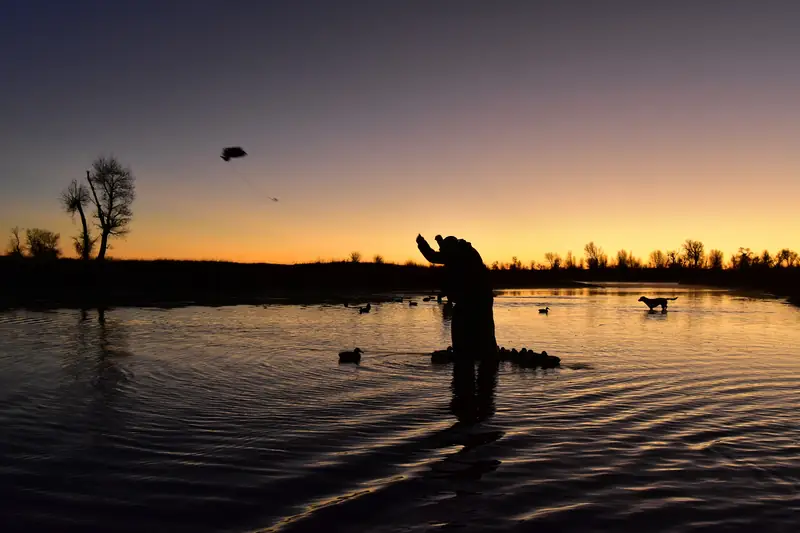
A duck hunter at first light on a national wildlife refuge. Photo: USFWSMontrose Conservation Area
Conservation area · Missouri Department of Conservation (MDC)
- State
- Missouri
- Type
- Conservation area
- Managed by
- Missouri Department of Conservation (MDC)
- Size
- 2,750 acres
- Official page
- Agency page
A Middle Zone area around Montrose Lake with a morning draw for waterfowl, outside MDC's reservation system.
Waterfowl rules
- Portions are closed to protect waterfowl Oct 15–Mar 1.Source: MDC Montrose CA · Last checked Oct 22, 2026
- Nontoxic shot is required for all shotgun hunting on the area. Decoys and blinds must come out daily; blinds built on site may only use willows.Source: MDC Montrose CA · Last checked Oct 22, 2026
- MDC's area page lists waterfowl hunting by morning draw. Montrose is not one of the 13 managed reservation areas in the digest.Source: MDC Montrose CA · Last checked Oct 22, 2026
Access and ramps
- Area office: 417-853-4592.Source: MDC Montrose CA · Last checked Oct 22, 2026
- Location: Henry County. MDC lists the area center at 38.3068, -93.9555.Source: MDC Montrose CA · Last checked Oct 22, 2026
- Boats may not be left overnight. Houseboats, airboats and personal watercraft are banned. On lakes of 70 acres or more, outboards over 10 hp run at slow, no-wake speed.Source: MDC Montrose CA · Last checked Oct 22, 2026
- Areas are open 4 a.m.–10 p.m.; hunting and launching boats are allowed 24 hours where those activities are permitted.Source: MDC Montrose CA · Last checked Oct 22, 2026
Not confirmed yet
- Draw time and closing hour for Montrose: not listed on the MDC pages we checked. Call the area office.
See something wrong or out of date? Report a correction.
Before you go
Check the rules and the water
Confirm this season’s rules on our state law pages or the agency’s own site, check draw and permit deadlines, and look at today’s river levels on the migration map. Areas can close or flood on short notice.