Public land · Arkansas
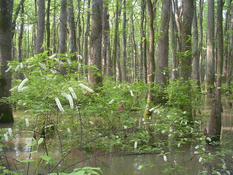
Bayou DeView, Cache River National Wildlife Refuge, Arkansas. Photo: USFWSSheffield Nelson Dagmar WMA
Wildlife management area · Arkansas Game and Fish Commission
- State
- Arkansas
- Type
- Wildlife management area
- Managed by
- Arkansas Game and Fish Commission
- Size
- About 10,297 acres
- Official page
- Agency page
A WMA of about 10,297 acres near Brinkley, on Bayou DeView and Robe Bayou, with five concrete boat ramps and a draw-only tract.
Spot guideCache RiverTips, access, rules and live water levelsWaterfowl rules
- No boats Nov 14–20, Nov 30–Dec 9, Dec 24–25 or Feb 1–5 (except Robe Bayou north of I-40), and no boats from 1 p.m. to 4 a.m. during the season.Source: AGFC Sheffield Nelson Dagmar WMA · Last checked Oct 22, 2026
- Closed to all access from 2 to 4 a.m., except campsites, parking areas and ramps. No airboats.Source: AGFC Sheffield Nelson Dagmar WMA · Last checked Oct 22, 2026
- The Conway George Tract is by online draw only: youth on Saturdays and Sundays, all ages on Tuesdays and Thursdays, parties of up to 4. Apply 3 p.m. Thursday to midnight Sunday the weekend before the hunt period; winners are emailed Monday.Source: AGFC Sheffield Nelson Dagmar WMA · Last checked Oct 22, 2026
- Apple Lake waterfowl rest area is closed Nov 1–Feb 15.Source: AGFC Sheffield Nelson Dagmar WMA · Last checked Oct 22, 2026
- Statewide WMA rules apply: shooting ends at noon and you must be off the water by 1 p.m.Source: AGFC waterfowl dates and rules · Last checked Oct 22, 2026
Access and ramps
- From I-40, take the Brinkley or Biscoe exit to Hwy 70 (6 miles west of Brinkley).Source: AGFC Sheffield Nelson Dagmar WMA · Last checked Oct 22, 2026
- Five concrete ramps: Gator Pond, Big Robe Bayou, Little Robe Bayou, Apple Lake WRA and Hickson Lake.Source: AGFC Sheffield Nelson Dagmar WMA · Last checked Oct 22, 2026
See something wrong or out of date? Report a correction.
Before you go
Check the rules and the water
Confirm this season’s rules on our state law pages or the agency’s own site, check draw and permit deadlines, and look at today’s river levels on the migration map. Areas can close or flood on short notice.