Public land · Arkansas
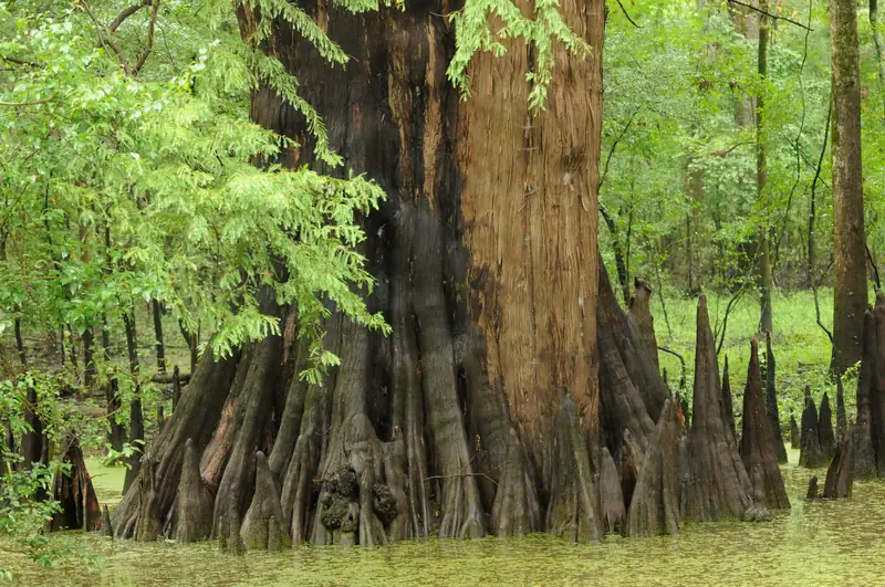
Bald cypress, White River National Wildlife Refuge, Arkansas. Photo: USFWSSt. Francis Sunken Lands WMA
Wildlife management area · Arkansas Game and Fish Commission (part is Corps of Engineers land leased to AGFC)
- State
- Arkansas
- Type
- Wildlife management area
- Managed by
- Arkansas Game and Fish Commission (part is Corps of Engineers land leased to AGFC)
- Size
- About 30,574 acres
- Official page
- Agency page
About 30,574 acres strung roughly 30 miles along the St. Francis floodway in Greene, Craighead and Poinsett counties, formed by the 1811–12 New Madrid earthquakes. AGFC says waterfowl hunting is most of the area's use.
Spot guideSt. Francis RiverTips, access, rules and live water levelsWaterfowl rules
- Waterfowl rest areas (Secs. 8, 9, 16, 17 T11N R6E and Sec. 17 T12N R6E) are closed Nov 1–Feb 15. The 280-acre Payneway Moist Soil Unit is a rest area.Source: AGFC St. Francis Sunken Lands WMA · Last checked Oct 22, 2026
- New this season: a St. Francis River Permit Unit that is hunted by online draw only, with up to 8 hunters per permit. Permit holders may leave a blind in place for the length of the permit and must remove it within 1 hour after shooting ends on the last day.Source: AGFC St. Francis Sunken Lands WMA · Last checked Oct 22, 2026
- AGFC can close the area to hunting during high-water emergencies.Source: AGFC St. Francis Sunken Lands WMA · Last checked Oct 22, 2026
- The Mississippi–Arkansas reciprocal agreement does not cover the St. Francis River, so you need an Arkansas license.Source: MDWFP public waters reciprocal program · Last checked Oct 22, 2026
- Statewide WMA rules apply: shooting ends at noon and you must be off the water by 1 p.m.Source: AGFC waterfowl dates and rules · Last checked Oct 22, 2026
Access and ramps
- Siphons Access (off Hwy 63 near Marked Tree), Oak Donnick Access (south of Trumann off Hwy 63 near Tulot), Stephens Landing (off Hwy 69 east of Trumann), Mangrum Landing, Iron Bridge Access and the Lake City Hwy 18 bridge access.Source: AGFC St. Francis Sunken Lands WMA · Last checked Oct 22, 2026
- Interior roads are closed to vehicles except marked mobility-impaired trails. AGFC says the best way into the interior is by boat.Source: AGFC St. Francis Sunken Lands WMA · Last checked Oct 22, 2026
Not confirmed yet
- The Permit Unit's boundary map, number of stations and application dates have not been published by AGFC yet.
- A lawsuit was filed in September 2026 over the new draw; its outcome is not known.
See something wrong or out of date? Report a correction.
Before you go
Check the rules and the water
Confirm this season’s rules on our state law pages or the agency’s own site, check draw and permit deadlines, and look at today’s river levels on the migration map. Areas can close or flood on short notice.