We have not confirmed whether the open water can legally be duck hunted, so this page stays out of search until the state confirms it.
How it hunts
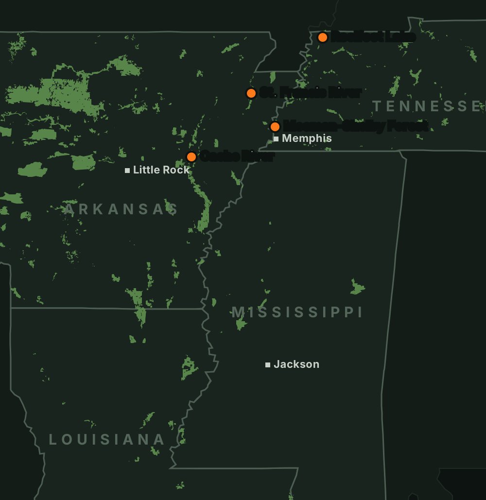
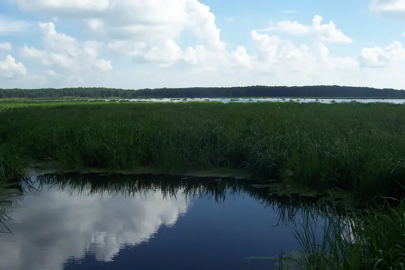
An old Mississippi River oxbow near Hughes, ringed by cabins, homes and farmland. Most of the shoreline is private, and there is one free public ramp. It is not a WMA.
Know the property lines
Private land and a club border parts of the lake, and it is easy to drift across a line without noticing. Use an official map and stay on open water.
Mind the neighbors
Homes and docks line one side. Keep well away and watch your shot direction.
Getting there and ramps
- The only free public access is the Nancy and Pat Bonds Access on the west side: from Hughes take Hwy 38 east about 7 miles, then Hwy 147 south about 1 mile. Double-wide concrete ramp, courtesy dock, parking for about 30 rigs.Source: AGFC news, Nancy and Pat Bonds Access · Last checked Oct 22, 2026
Rules
Not confirmed yet
- Whether the open water of this lake may legally be duck hunted. Call AGFC before you go.
Water levels
Best water level: Unknown
Source: AGFC · checked Oct 22, 2026
Mississippi River at Memphis
2.6 ft
Observed Oct 22, 9:00 a.m. CTNWS forecast, issued Oct 21, 10:23 a.m. CT
Source: NWS / NOAA National Water Prediction Service- Today2.6
- Fri2.1
- Sat1.4
- Sun0.3
- Mon-0.5
Before you go
Check the rules and the water
Confirm this season’s rules on our state law pages or the agency’s own site, check draw and permit deadlines, and look at today’s river levels on the migration map. Areas can close or flood on short notice.