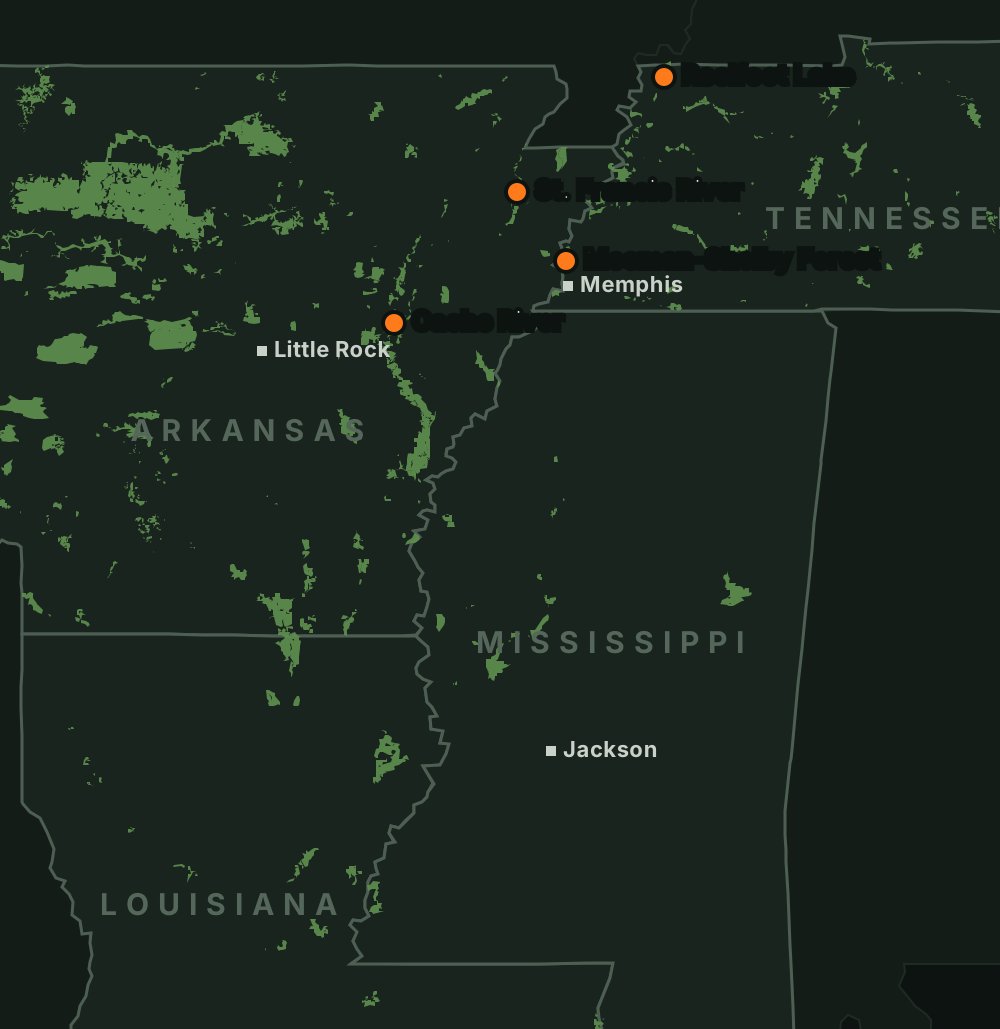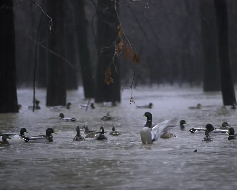
There is no confirmed public duck ground on the Loosahatchie, so this short page stays out of search. Meeman-Shelby Forest is the nearby public option.
How it hunts
There is no TWRA wildlife management area on the Loosahatchie River, and the refuge near its mouth is closed to waterfowl hunting. Assume the bottoms are private unless you have permission.
Assume it's private
Get written permission, or hunt Meeman-Shelby Forest's public zones instead.
Watch the big river
The lower Loosahatchie bottoms back up with the Mississippi, so check the Memphis gauge.
Getting there and ramps
Eagle Lake RefugeClosed to duck hunting
Access details are on the area page.
Meeman-Shelby Forest WMA and State ParkOpen to duck hunting
- Park headquarters: take TN-388 north to its end, go left 1 mile to the four-way stop at the Shelby Forest General Store, turn right 1 mile, then left into the park.Source: TWRA Meeman-Shelby Forest WMA · Last checked Oct 22, 2026
- Eagle Lake and the WMA bottoms: from Benjestown Rd take Island No. 40 Rd. A gate leads to a rough gravel road; it opens on an irregular schedule and closes during high water.Source: TWRA Meeman-Shelby Forest WMA · Last checked Oct 22, 2026
- The Mississippi River ramp is free, and the Poplar Tree Lake ramp is open year-round. The park notes that One Way Road past the campground is closed due to erosion.Source: Tennessee State Parks, Meeman-Shelby boating · Last checked Oct 22, 2026
Rules
- TWRA's West Tennessee WMA list has no Loosahatchie WMA.Source: TWRA Region 1 WMAs · Last checked Oct 22, 2026
- The Tennessee–Arkansas reciprocal agreement excludes the Loosahatchie River, so you need a Tennessee license.Source: AGFC Code H1.03 (PDF) · Last checked Oct 22, 2026
Not confirmed yet
- Whether the river channel counts as public water that can be hunted, and whether there is any public launch.
Water levels
Best water level: Unknown
Source: NWS MEMT1 · checked Oct 22, 2026
Loosahatchie River at Arlington, TN
0.7 ft
Observed Oct 22, 9:15 a.m. CTNWS forecast, issued Oct 22, 8:30 a.m. CT
Source: NWS / NOAA National Water Prediction Service- Today0.7
- Fri0.7
- Sat0.7
- Sun0.7
- Mon0.7
Mississippi River at Memphis
2.6 ft
Observed Oct 22, 9:00 a.m. CTNWS forecast, issued Oct 21, 10:23 a.m. CT
Source: NWS / NOAA National Water Prediction Service- Today2.6
- Fri2.1
- Sat1.4
- Sun0.3
- Mon-0.5
Before you go
Check the rules and the water
Confirm this season’s rules on our state law pages or the agency’s own site, check draw and permit deadlines, and look at today’s river levels on the migration map. Areas can close or flood on short notice.